|
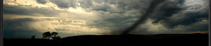
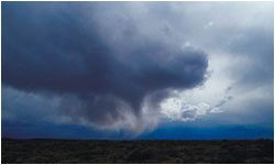
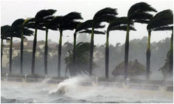
Hurricane Tracking and Forecasting
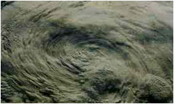
The exact location of a hurricane is easily tracked by scientists,
but the direction, speed, and intensity of a storm can change
quickly.
Predicting exactly where a storm will travel in the future is
not easy. Weather forecasters can warn people long in advance
that a tropical storm may be approaching, but the storm can
suddenly change course. The path of a storm is tracked using
satellite photos and RADAR.
You can plot the latitude and longitude of the center of the
storm as the hurricane travels (lines of latitude run east and
west; lines of longitude run north and south). The coordinates
of a storm's location look like (20ºN, 75ºW), where the first
coordinate is the current latitude of the storm and the second
coordinate is the longitude.
The weather symbol for a hurricane is . The weather symbol for
a tropical storm is .
How to Track a Hurricane:
To plot each location of the storm over time, do the following:
Determine the latitude of the storm, the first coordinate in
the pair, and locate it on the map (usually followed by an N
or S). Latitude measures how far north or south a location is
from the Equator (on a map, lines of latitude run east and west).
Determine the longitude, the second coordinate in the pair (usually
followed by a W or E), and locate it on the map. Longitude measures
how far east or west a location is from the Prime Meridian (on
a map, lines of longitude run north and south).
Draw a (for a hurricane) or a (for a tropical storm) on the
weather map. Repeat steps 1 to 3 using the next tracked location
of the storm.
|
|